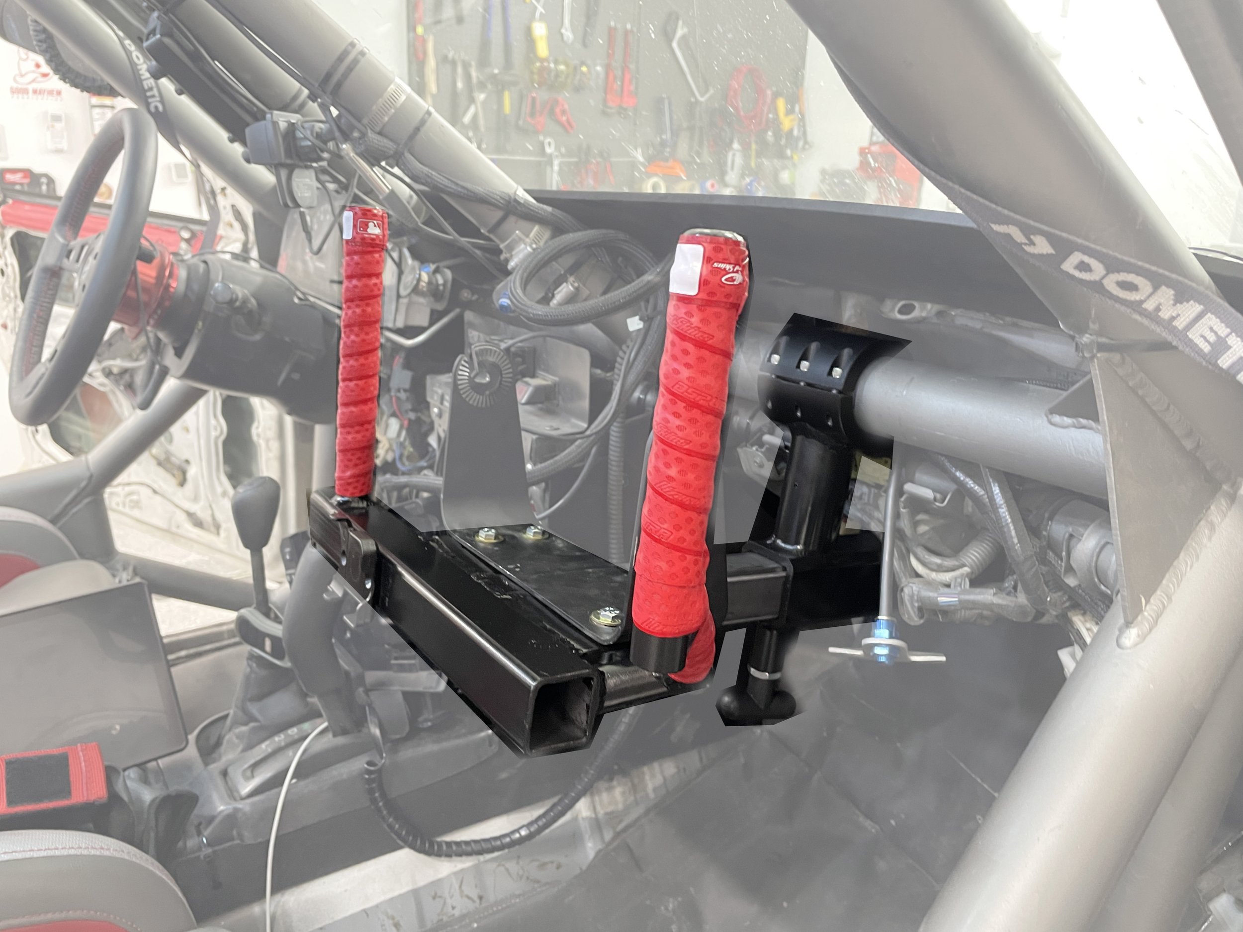
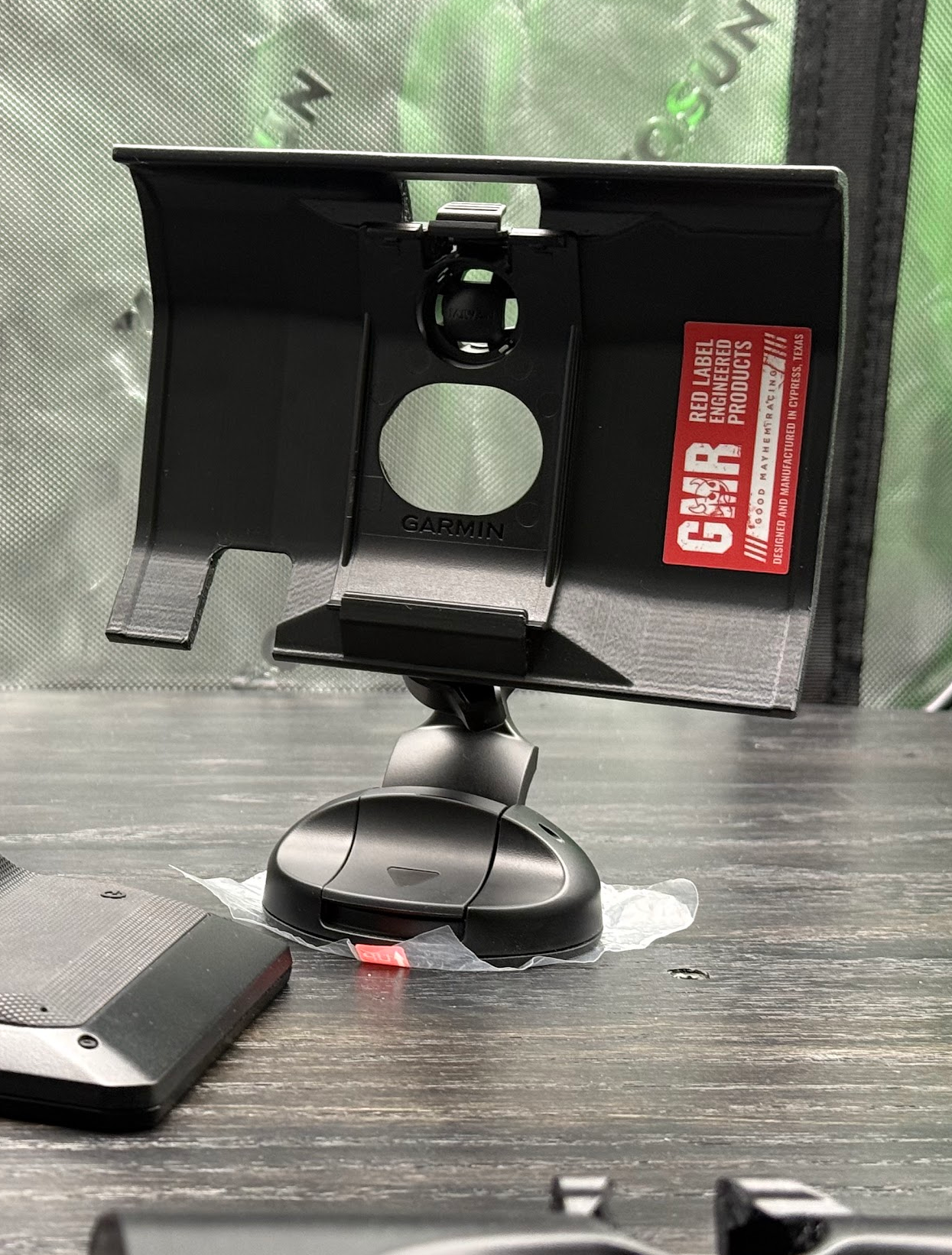
 Image 1 of 5
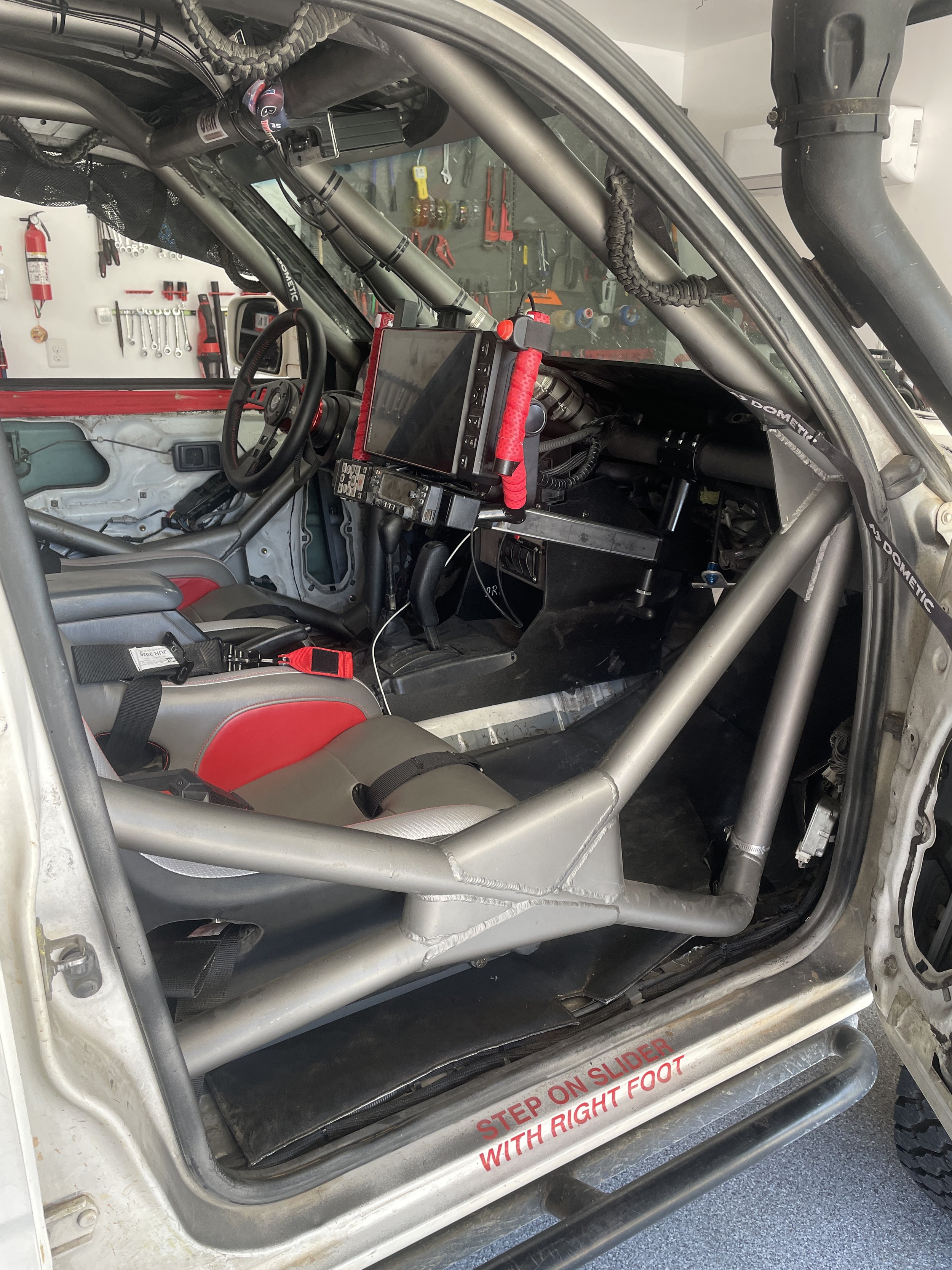
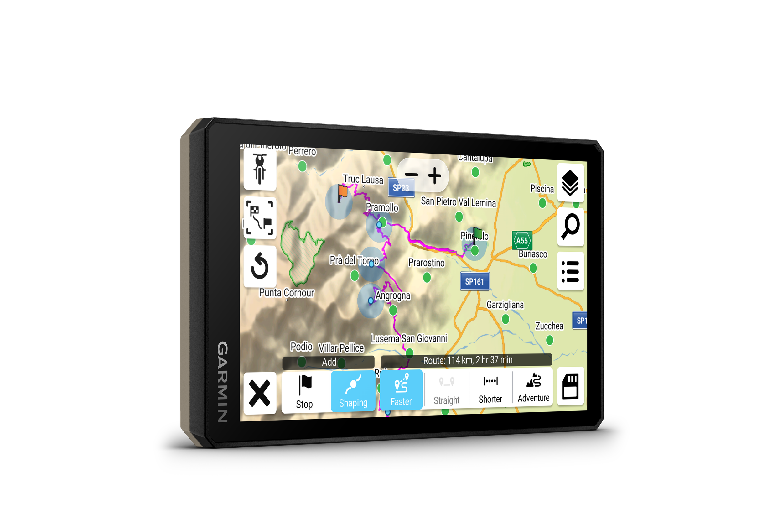
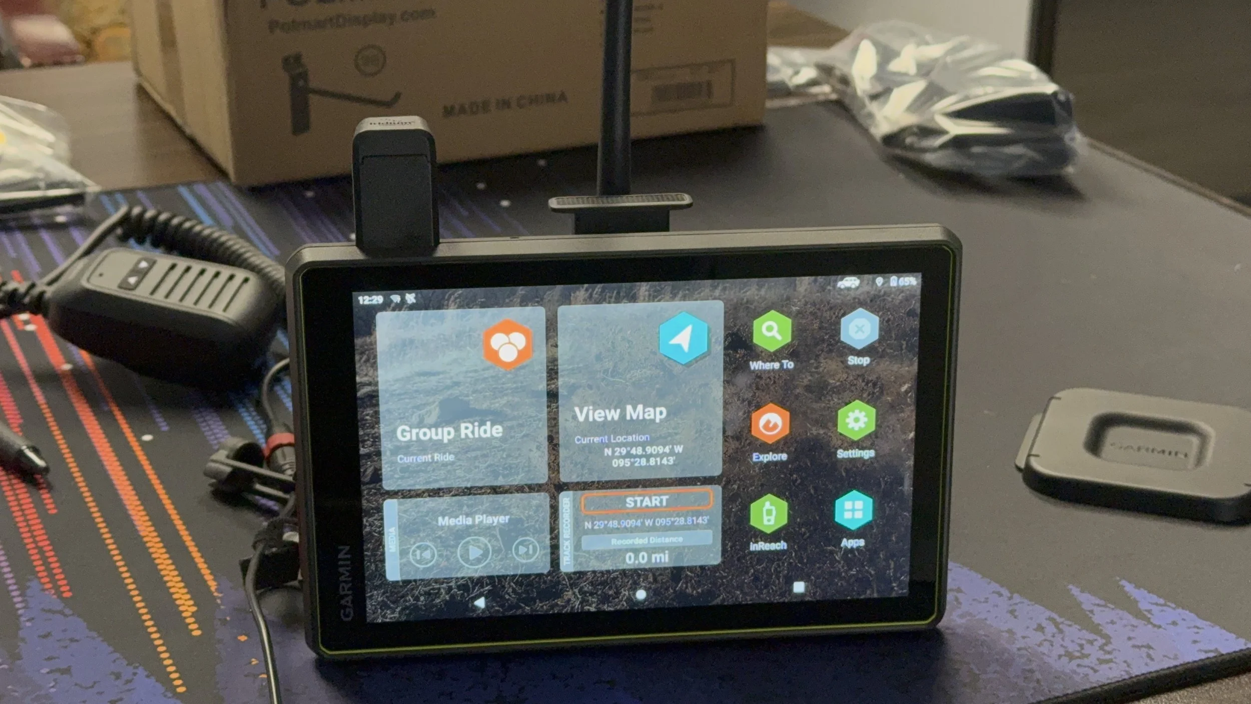 Image 2 of 5
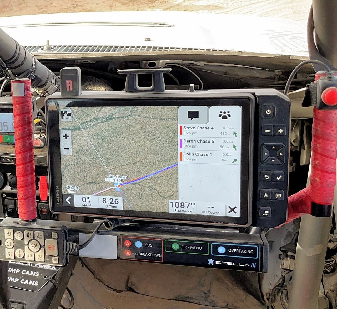
 Image 3 of 5
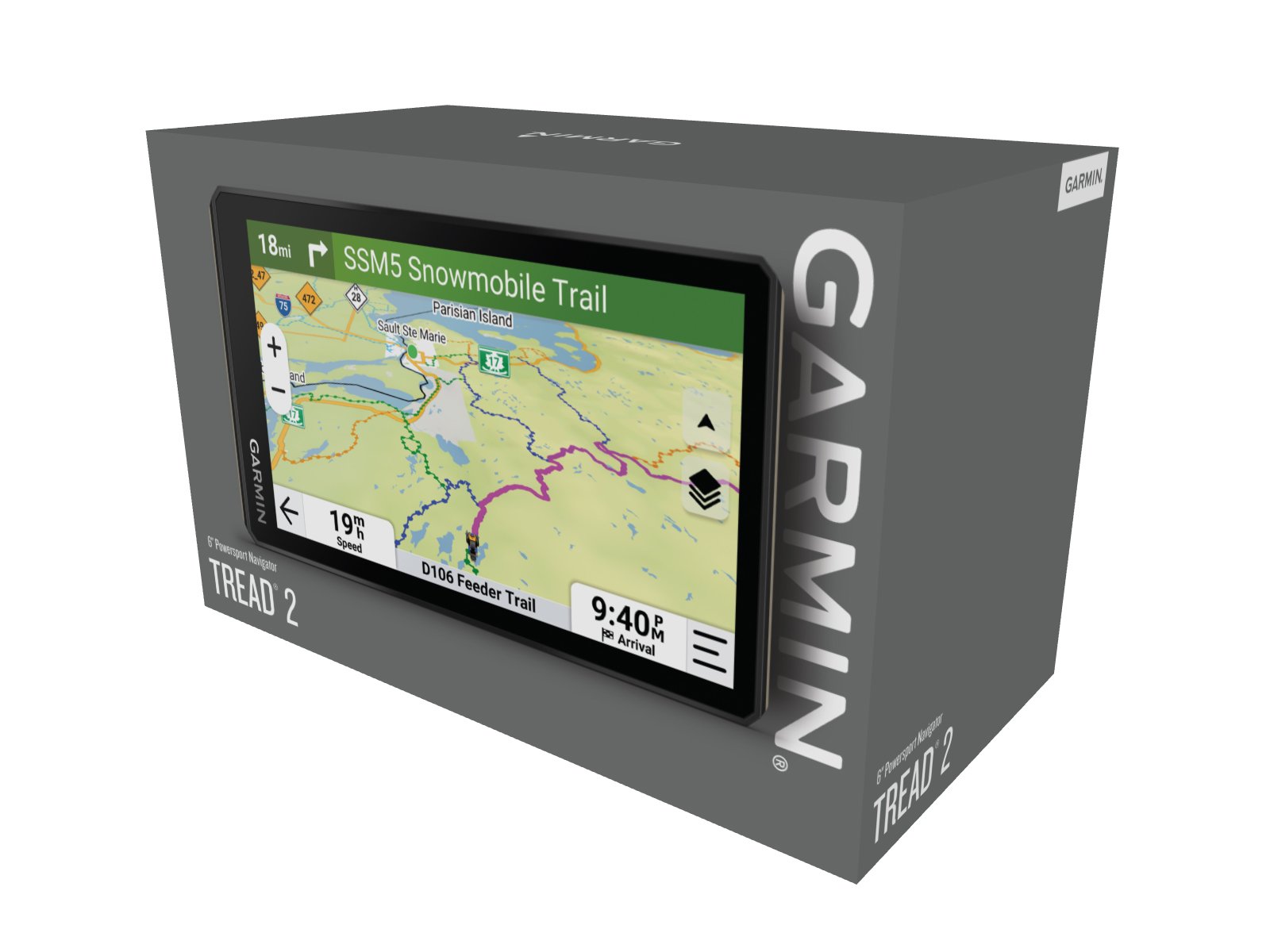
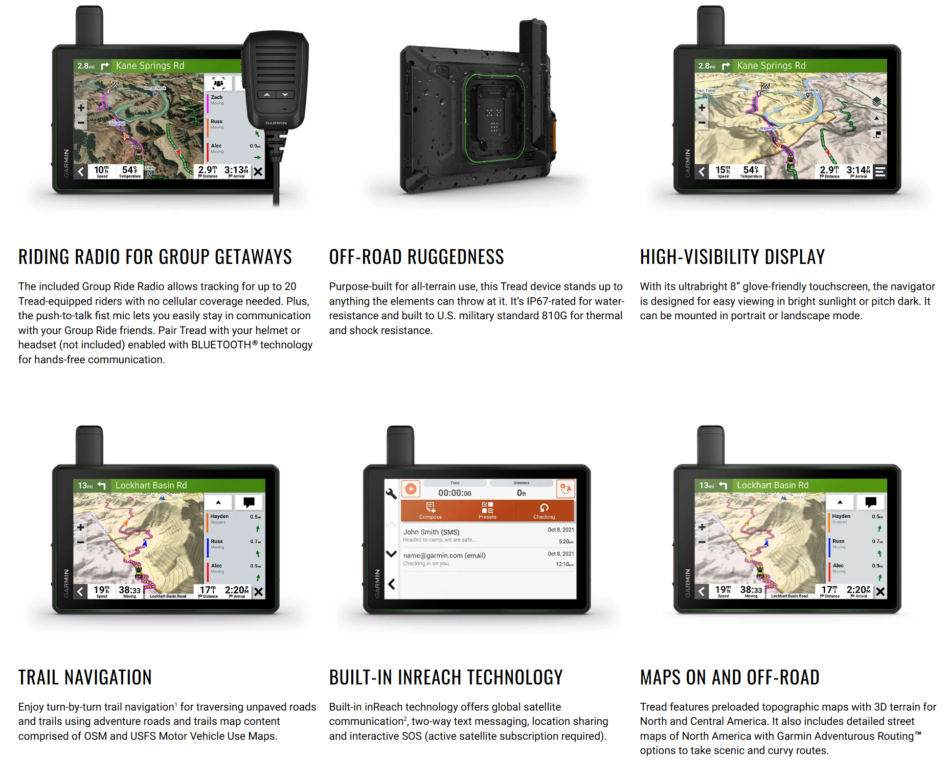 Image 4 of 5
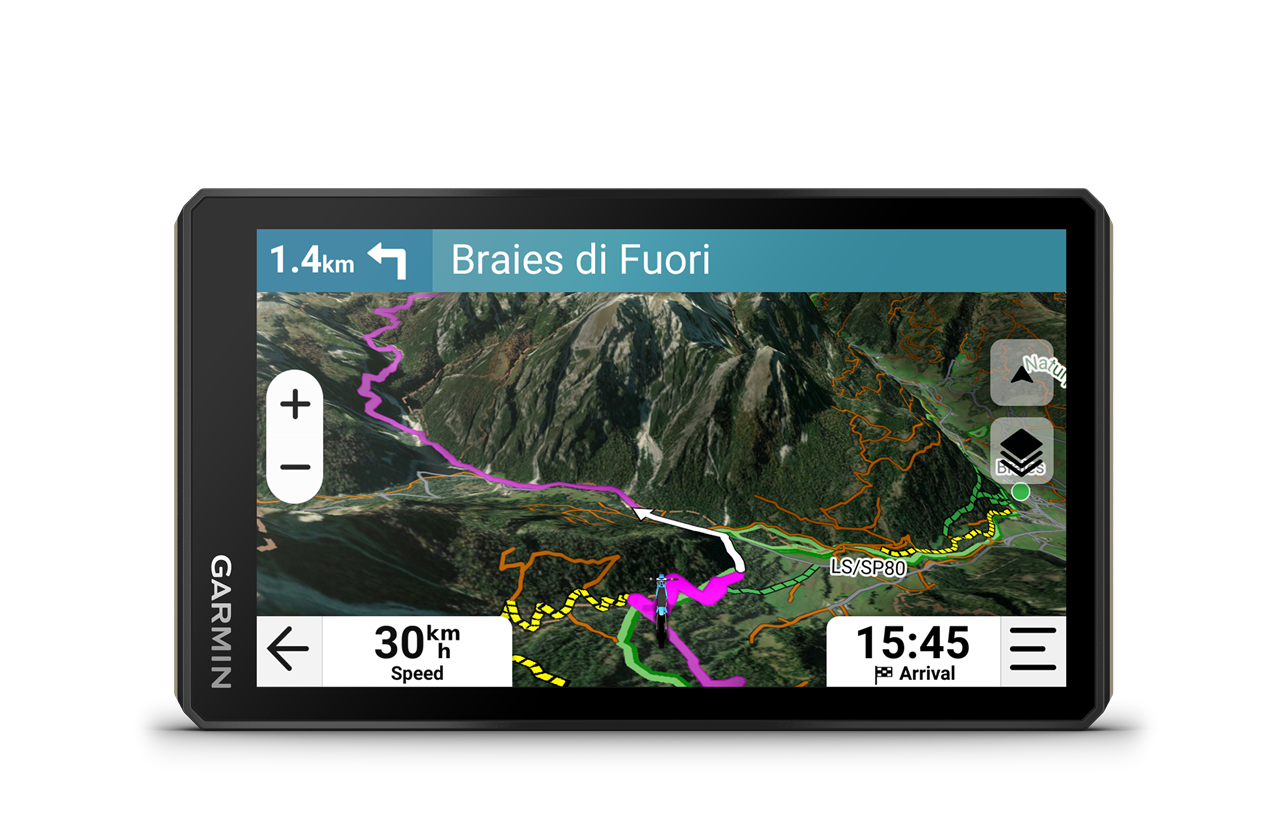
 Image 5 of 5
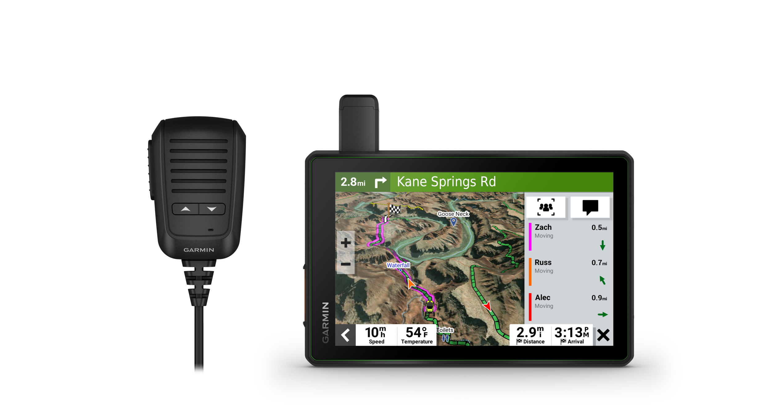
RIDING RADIO FOR GROUP GETAWAYS
The included Group Ride Radio allows tracking for up to 20 Tread-equipped riders with no cellular coverage needed. Plus, the push-to-talk fist mic lets you easily stay in communication with your Group Ride friends. Pair Tread with your helmet or headset (not included) enabled with BLUETOOTH® technology for hands-free communication.
OFF-ROAD RUGGEDNESS
Purpose-built for all-terrain use, this Tread device stands up to anything the elements can throw at it. It’s IP67-rated for water-resistance and built to U.S. military standard 810G for thermal and shock resistance.
HIGH-VISIBILITY DISPLAY
With its ultrabright 8” glove-friendly touchscreen, the navigator is designed for easy viewing in bright sunlight or pitch dark. It can be mounted in portrait or landscape mode.
TRAIL NAVIGATION
Enjoy turn-by-turn trail navigation1 for traversing unpaved roads and trails using adventure roads and trails map content comprised of OSM and USFS Motor Vehicle Use Maps.
BUILT-IN INREACH TECHNOLOGY
Built-in inReach technology offers global satellite communication2, two-way text messaging, location sharing and interactive SOS (active satellite subscription required).
MAPS ON AND OFF-ROAD
Tread features preloaded topographic maps with 3D terrain for North and Central America. It also includes detailed street maps of North America with Garmin Adventurous Routing™ options to take scenic and curvy routes.
KNOW YOUR BOUNDARIES
Access U.S. public land boundaries for national forests, Bureau of Land Management (BLM), wilderness areas and more. Also, see U.S. private land boundaries and landowner information for parcels greater than 4 acres.
SATELLITE IMAGERY
Enjoy vivid aerial views when you download high-resolution BirdsEye Direct Satellite Imagery directly to your device via Wi-Fi® connectivity, with no annual subscription required.
TRAIL RATINGS
Our growing trail database now includes difficulty ratings for off-road riding areas, where available, across the U.S.
SNOWMOBILE TRAILS
View snowmobile trail content for select areas within the U.S. and in Canadian provinces. This includes snowmobile-accessible locations such as fuel stops, warming shelters, restaurants and more.